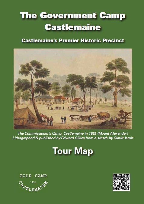
The Tour Map for the Government Camp Castlemaine, Castlemaine’s premier historic precinct, has been reprinted. This map identifies twenty-four significant features within the Camp Reserve & Environs historic precinct, which encompasses the Government Camp established on this site in 1851, or elsewhere in the town but with links to the Camp. The map includes images of each location and a short description of the history and significance of each.
Copies, which are free, can be obtained at the Castlemaine Visitor Centre in the Market Hall at 44 Mostyn Street or by sending us a message through Contact Us on this website.